Use Cases
Trends in burnt surfaces over time

Methodology
Overview
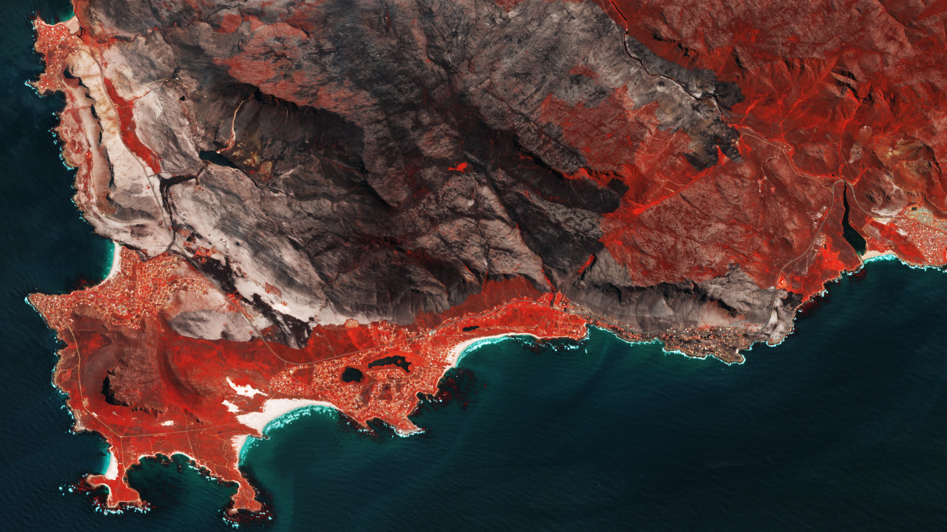
Burned areas are distinguished by the existence of charcoal and ash deposits, the lack of vegetation, and alterations in vegetation structure. Utilizing spectral, temporal, and structural alterations, the MODIS burned area mapping algorithm identifies the approximate date of burning with a spatial resolution of 500 m. This is achieved by pinpointing rapid changes in daily surface reflectance time series data. The algorithm delineates the spatial extent of recent fires, excluding those from previous seasons or years.
Detail
Our goal is to create a detailed worldwide database that keeps track of areas that have experienced fires. This database will include data on the types of land affected and the people impacted in different regions. We’ve set it up so we can easily analyze this information in many ways, like looking at trends or creating visual representations. Using Python scripts, much of this process is automated, making it easier to update and adapt the database as needed in the future. We regularly update the data we use to ensure it stays current and useful for future improvements.
The first technical report with methodology and data used is available:
Objectives
The objectives of global burned areas localization and analysis in a land restoration context revolve around understanding, mitigating, and managing the impacts of fires on ecosystems, climate, and human activities. This knowledge is essential for promoting sustainable land use and fostering resilient landscapes in the face of evolving environmental challenges.
Data and tools
Data access
Please follow this link in order to Explore the platform